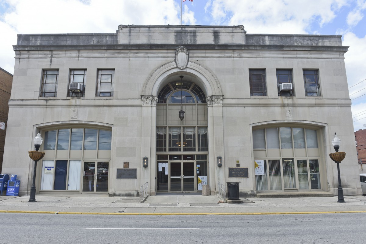
MORGANTOWN — A “herculean effort,” as described by one member of the Morgantown Planning Commission, has produced a complete overhaul of the city’s zoning map ready for presentation to Morgantown City Council.
The commission voted unanimously on Thursday to recommend approval of the replacement zoning map to the city.
Chris Fletcher, director of the city’s development services, explained that the map currently in use was adopted in 2006 using data generated in the 1990s.
The new map, Fletcher explained, is a “significant enhancement” in that it is based off the digitized tax parcel maps produced by Monongaila County Assessor Mark Musick’s office using the county’s GIS, or geographic information system.
“Where we could, we no longer use parcel boundaries, but right-of-way centerlines. Then where we have to cut along parcels, or separate the zoning classifications, we’ve adjusted those to actually align with the parcel boundaries.”
The city’s work was done in-house through Fletcher’s office over the course of multiple years.
Fletcher said the zoning map is comprised of some 11,000 vertices, or points.
“We literally had to touch each of those points at least three times, many of them several times. That’s why it’s taken a couple years to do this,” he said.
Fletcher explained that with one exception — a portion of Marilla Park — the new map does not change any property zoning designations, though he notes there are 25 or 30 “anomalies” in which a parcel is split by zoning boundaries.
He said those anomalies were left for later consideration, explaining, “This project was way too big to try to get into those issues.”
As for Marilla Park, the new map would change the portion of the property that includes the Marilla Center, the skate park and the old shirt factory from I-1 (industrial) to R-1A (single family residential) like the rest of the park property. If there’s objection to that change, Fletcher said it can be removed.
“If anyone would object, we would say, ‘Ok, let’s just keep the map moving forward,’ ” Fletcher said. “We went back and forth on whether to put this in there or not, but it’s the city’s property. It should be an easy conversation.”
The city is ramping up efforts to get its own GIS operation off the ground.
Morgantown Communication Manager Andrew Stacy said the city hired Marvin Davis to serve as a full-time GIS analyst on Sept. 3 at an hourly rate of $25.90 an hour. The city is also exploring the licensing of Esri GIS software — the same used by the county.
Fletcher said the goal is not only to integrate city data onto the county system, and vice versa, but to eventually have a robust system readily available to the public.
“It’s endless,” he said of the kinds of data that can be incorporated into GIS. “We’re getting there, slowly, but we’re getting there.”
Tweet @DominionPostWV.


